

Laboratories
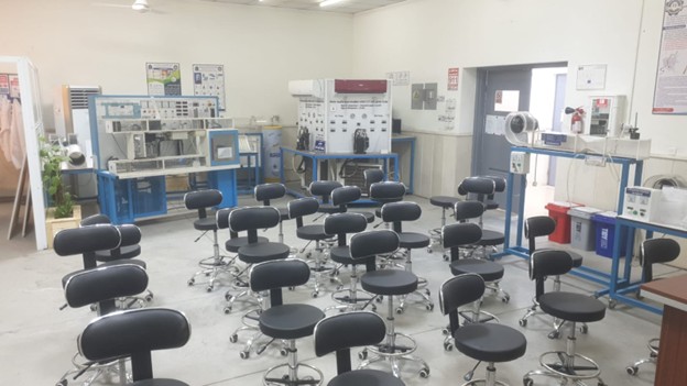
Laboratory 1
Surveying Laboratory
Surveying Laboratory
- Introduce students to traditional surveying instruments.
- Introduce students to modern surveying equipment and technologies.
- Train students to use software applications for drawing longitudinal and cross-sectional profiles and calculating cut-and-fill volumes.
- Train students on transferring data from modern surveying instruments (such as Total Station, GPS, and other surveying devices) to a computer.
Computer Laboratory
The Computer Laboratory is one of the most important laboratories for practical courses in the Department of Geomatics Engineering Technologies. The laboratory operates on the Windows operating system and is equipped with a variety of specialized software applications, including:
- MATLAB
- AutoCAD
- Visual Basic
- QuickBASIC
These software packages are used to train students in software development and programming using different programming languages and engineering applications.
The laboratory also supports a wide range of academic courses, including Remote Sensing, Cartography, and other geomatics-related subjects. In addition, it serves as a facility for students to carry out course projects and graduation projects.
Furthermore, the laboratory enables the integration of modern surveying equipment, such as Total Station and GPS receivers, with laboratory computers to transfer spatial data for processing, analysis, and the production of accurate topographic maps.